Naturaleza y Descubrimiento Senderismo
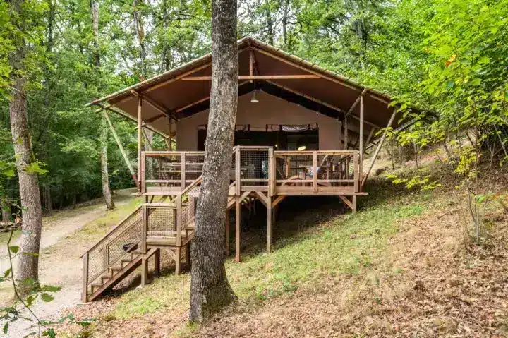
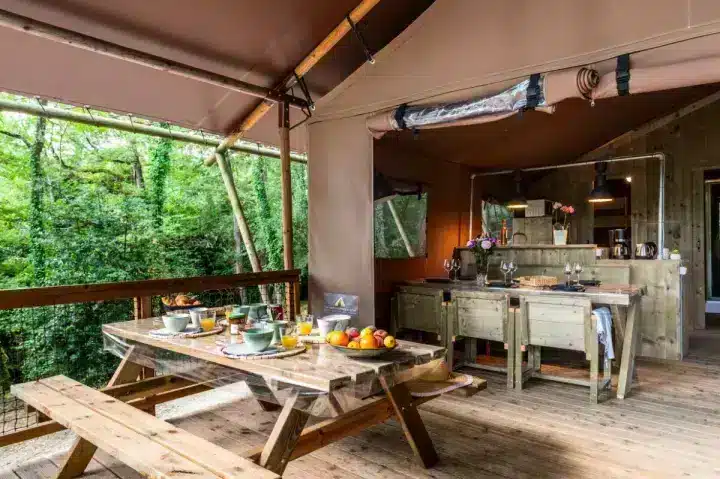
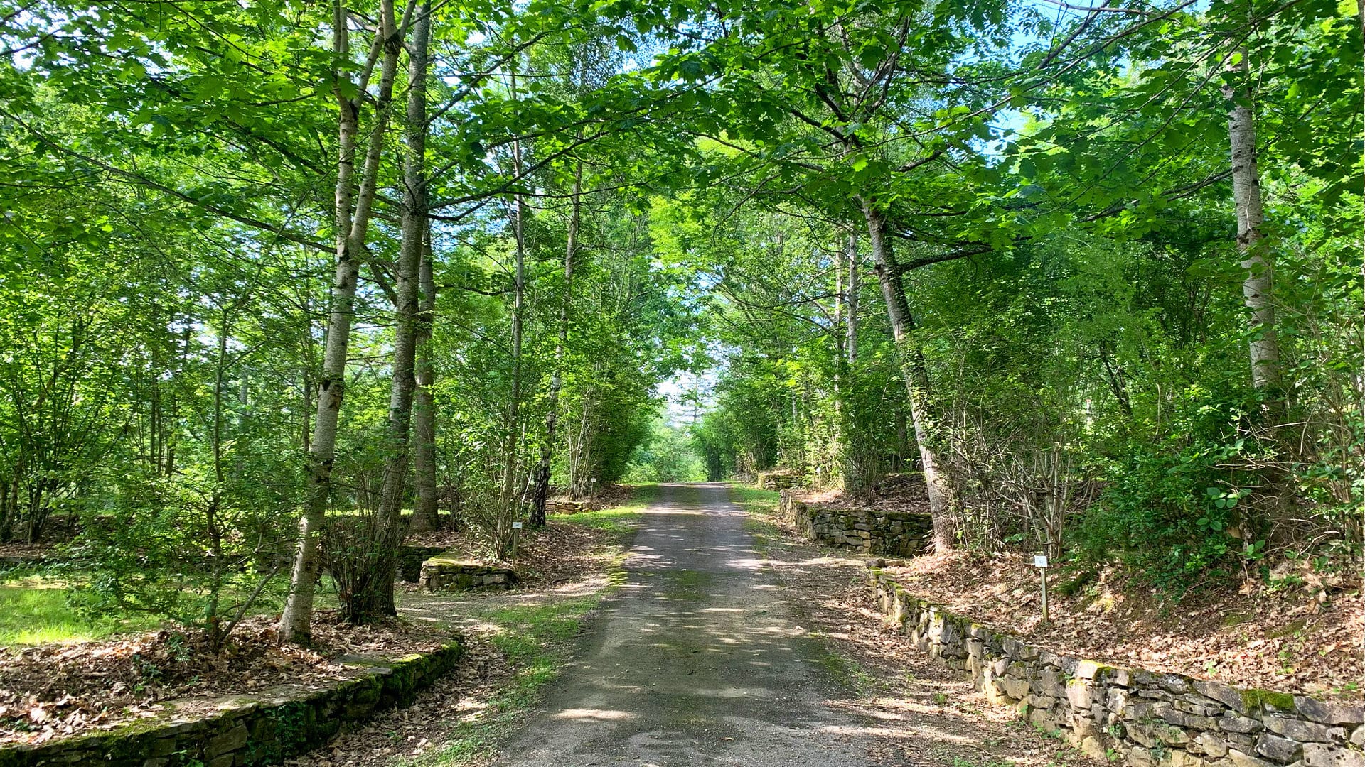
A partir del camping ecológico La Serre, le espera una ruta de senderismo de 3,5 km para sumergirse en la naturaleza. Este paseo de una hora ofrece una oportunidad única para descubrir la variada flora y fauna de la región. Apto para todos los niveles, el sendero promete momentos de tranquilidad y educación medioambiental, ideal para familias, amigos o personas en busca de serenidad. Es más que un simple paseo: es una aventura educativa y relajante que le reconecta con la belleza natural que le rodea. Prepárese para una experiencia de senderismo memorable, bañada por la serenidad y el esplendor de la naturaleza.


Descubrir y escapar
en el sendero Sentier du Camping La Serre
- Longitud del sendero: 3,5 kms
- Duración del paseo: 1 hora
- Inicio: la entrada del camping
A la entrada de su camping, comienza una magnífica ruta de senderismo que le sumergirá en el corazón del entorno virgen del lugar. Con una superficie de 10,5 hectáreas, este sendero invita a descubrir y observar la rica y variada flora y fauna de la región. Senderistas de todos los niveles pueden disfrutar de esta experiencia inmersiva en plena naturaleza, donde cada paso revela nuevos tesoros naturales.
Al recorrer este sendero, tendrá la oportunidad única de conectar con la naturaleza, disfrutar de la tranquilidad del entorno y descubrir la biodiversidad local. Es la experiencia perfecta para familias, grupos de amigos o personas que buscan escapar del ajetreo de la vida cotidiana y recargar las pilas en un entorno natural. Esta excursión no es sólo un ejercicio físico, es también una aventura educativa y tranquilizadora, que le permitirá reconectar con los elementos esenciales de la naturaleza.
Planifique su paseo por el Chemin du Camping y prepárese para una experiencia inolvidable, en la que la belleza y la serenidad de la naturaleza le rodearán.
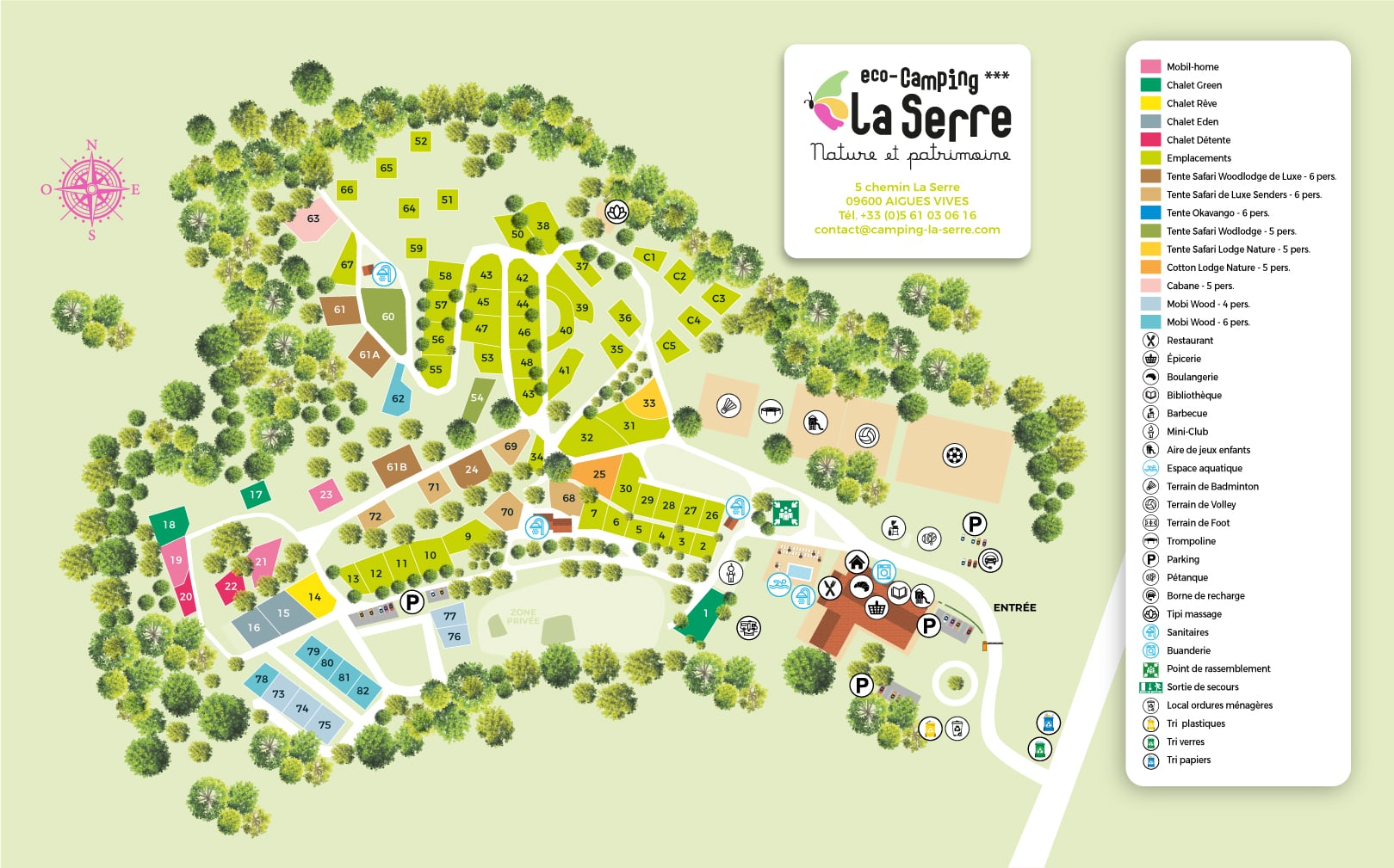 Mapa del camping